
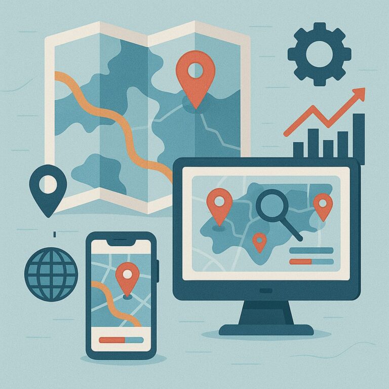
Introduction to Data Visualization
Free
This topic provides an overview of data visualization principles, including the purpose, goals, and elements of effective visualization. It covers […]
Course Info
Map Types and Symbology
Free
This topic introduces various map types commonly used in GIS, such as thematic maps, reference maps, and choropleth maps. It […]
Course Info
Charting Spatial Data
Free
This topic explores the use of charts and graphs to visualize spatial data effectively. It covers common chart types, such […]
Course Info
Data Exploration and Analysis
Free
This topic focuses on techniques for exploring and analyzing spatial data through visualization. It covers data aggregation, spatial filtering, and […]
Course Info
Interactive Visualization
Free
This topic introduces the concept of interactive data visualization in GIS, where users can interact with maps, charts, and other […]
Course Info
Data Visualization Tools and Software
Free
This topic introduces various GIS software and tools used for data visualization. It covers the functionalities of popular GIS platforms […]
Course Info
Data Visualization Best Practices
Free
This topic emphasizes the importance of clear communication and best practices for creating effective data visualizations. It covers principles such […]
Course Info
Creating and Sharing Visualizations
Free
This topic guides students on creating and sharing their visualizations. It covers exporting visualizations in various formats, including images, maps, […]
Course Info

Spatial Starters: Your First GIS Journey – Introduction
Free
Spatial Starters: Your First GIS Journey – Introduction Are you trying to figure out GIS because your instructor assigned it, […]
Course Info
GIS: Geography on Steroids
Free
Discover all the parts of Geographic Information Systems (GIS) and how they work together. Get familiar with the core concepts […]
Course Info
Geography Goes Digital
Free
Find out how a conceptual model helps you lay the groundwork for your GIS project. Understand the data models that […]
Course Info
Retrieving, Counting, and Characterizing Geography
Free
Uncover the hidden details in raster data and learn how to analyze and visualize patterns across the landscape. Explore how […]
Course Info
Analyzing Geographic Patterns
Free
Discover how to use GIS to measure distances, from basic straight-line calculations to real-world routes that factor in time, cost, […]
Course Info
GIS Output and Application
Free
Discover what it takes to make effective, accessible output — from printed maps to interactive web maps and apps. Explore […]
Course Info
The Part of Tens
Free
Explore ten GIS software options to find a GIS solution that fits your needs and budget. Discover ten GIS data […]
Course Info

Image processing
Free
This part covers the most essential image processing techniques for image visualisation, quantitative analysis and thematic information extraction for remote […]
Course Info
Geographical information systems
Free
Image Processing and GIS for Remote Sensing – Introduction Remote sensing is a mechanism for collecting raster data or images, […]
Course Info
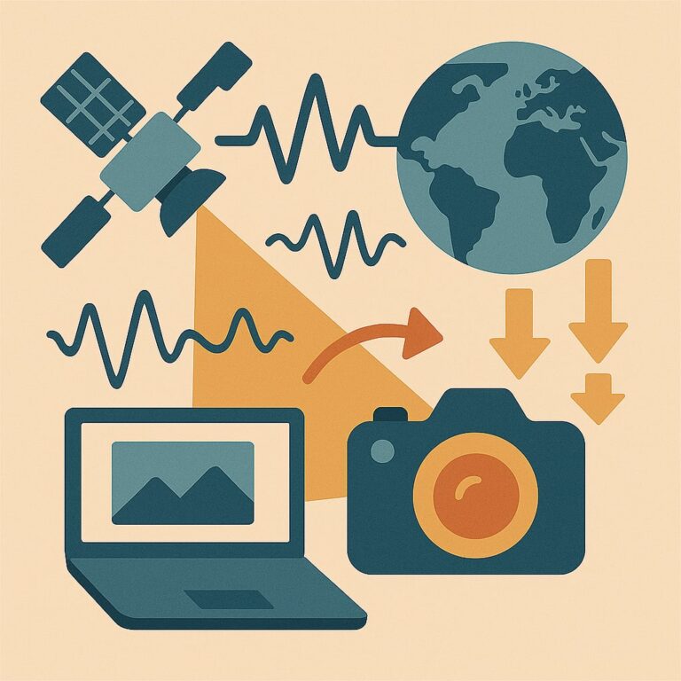
Remote sensing applications
Free
In Parts I and II of this book, we learnt the essential image processing and GIS techniques. Here we will demonstrate, step by step, […]
Course Info
Summary
Free
Image Processing and GIS for Remote Sensing – Introduction Remote sensing is a mechanism for collecting raster data or images, […]
Course Info

APPENDIX A: Imaging sensor systems and remote sensing satellites
Free
The key element in remote sensing technology is the sensor. A sensor detects and quantitatively records the electromagnetic radiation (EMR) […]
Course Info
APPENDIX B: Online resources for information, software and data
Free
Here we have compiled a list of what we hope are useful resources available on or via the internet. These […]
Course Info