Skip to content
Home
Programs
Close Programs
Open Programs
Cybersecurity
Courses
Community
News
Knowledgebase
GIS
Courses
Community
News
Knowledgebase
Agile Methodologies
Courses
Community
News
Knowledgebase
Catalog
About
News
Contact Us
Login
Sign Up
Login
Sign Up
Login
Sign Up
Home
All Programs
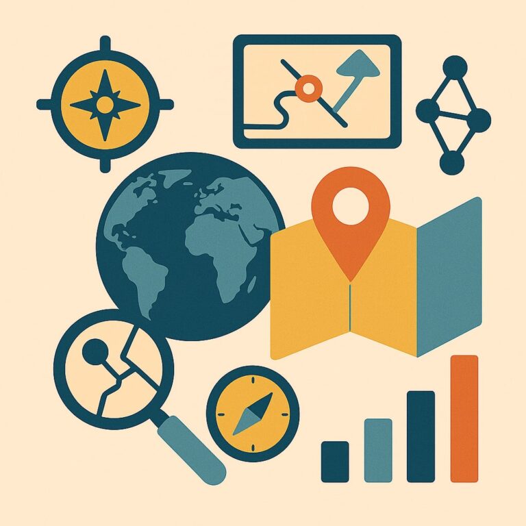
Geographic Information Systems
Courses
Showing 1-10 of 24 results
Start Course
Spatial Analysis and Synthesis with Gis
Free
10 Weeks
All levels
Chapter 6: Analysis of GIS Data by Simple Examination Information Computer Hardware—What a Computer Does Continuous and Discrete Phenomena Some […]
Start Course
Start Course
Basic Concepts of GIS
Free
10 Weeks
All levels
Chapter 1: Some Concepts That Underpin GIS You Ask: “What Is GIS About?” And So You Ask Again: “What Is […]
Start Course
Start Course
References
Free
10 Weeks
All levels
In this book, we have organised the references to ensure optimum readership: The references are listed in three parts: general […]
Start Course
Start Course
APPENDIX B: Online resources for information, software and data
Free
10 Weeks
All levels
Here we have compiled a list of what we hope are useful resources available on or via the internet. These […]
Start Course
Start Course
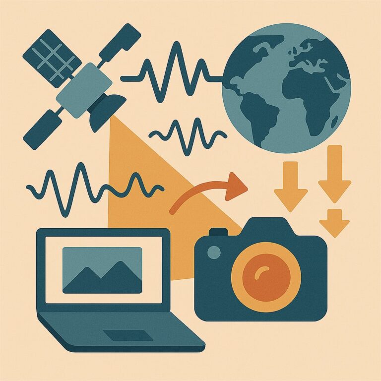
APPENDIX A: Imaging sensor systems and remote sensing satellites
Free
10 Weeks
All levels
The key element in remote sensing technology is the sensor. A sensor detects and quantitatively records the electromagnetic radiation (EMR) […]
Start Course
Start Course
Summary
Free
10 Weeks
All levels
Image Processing and GIS for Remote Sensing – Introduction Remote sensing is a mechanism for collecting raster data or images, […]
Start Course
Start Course
Remote sensing applications
Free
10 Weeks
All levels
In Parts I and II of this book, we learnt the essential image processing and GIS techniques. Here we will demonstrate, step by step, […]
Start Course
Start Course
Geographical information systems
Free
10 Weeks
All levels
Image Processing and GIS for Remote Sensing – Introduction Remote sensing is a mechanism for collecting raster data or images, […]
Start Course
Start Course
Image processing
Free
10 Weeks
All levels
This part covers the most essential image processing techniques for image visualisation, quantitative analysis and thematic information extraction for remote […]
Start Course
Start Course
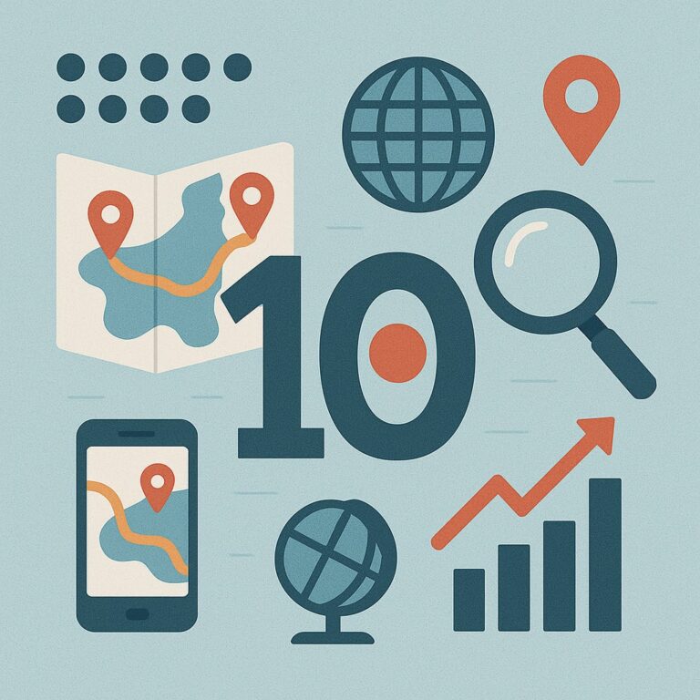
The Part of Tens
Free
10 Weeks
All levels
Explore ten GIS software options to find a GIS solution that fits your needs and budget. Discover ten GIS data […]
Start Course
« Previous
1
2
3
Next »
Login
or
Sign Up
Home
Programs
Close Programs
Open Programs
Cybersecurity
Courses
Community
News
Knowledgebase
GIS
Courses
Community
News
Knowledgebase
Agile Methodologies
Courses
Community
News
Knowledgebase
Cybersecurity
Courses
Community
News
Knowledgebase
Catalog
About
News
Contact Us
Linkedin
Instagram